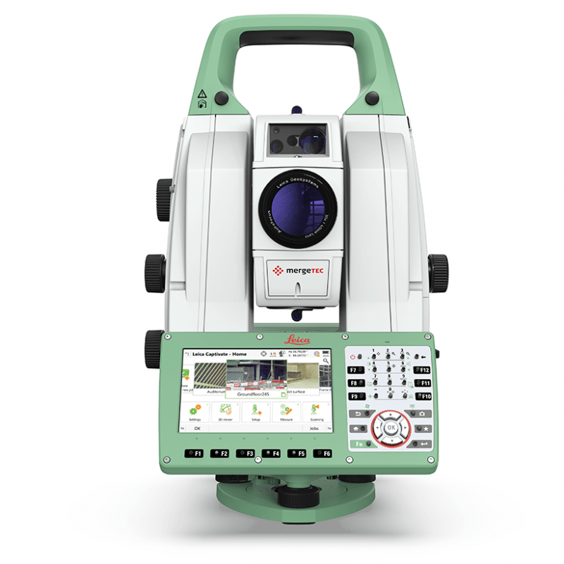
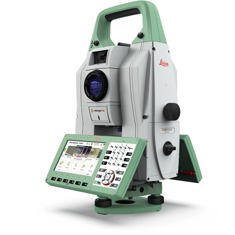
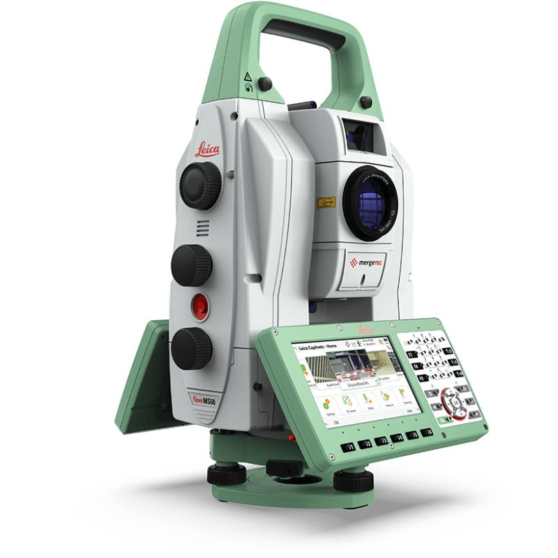
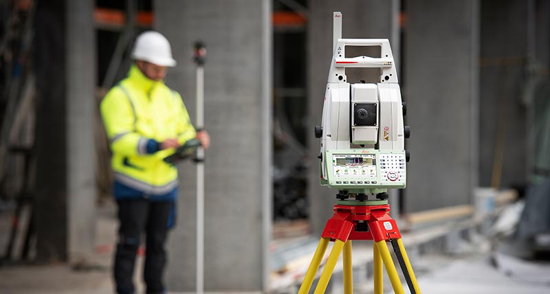
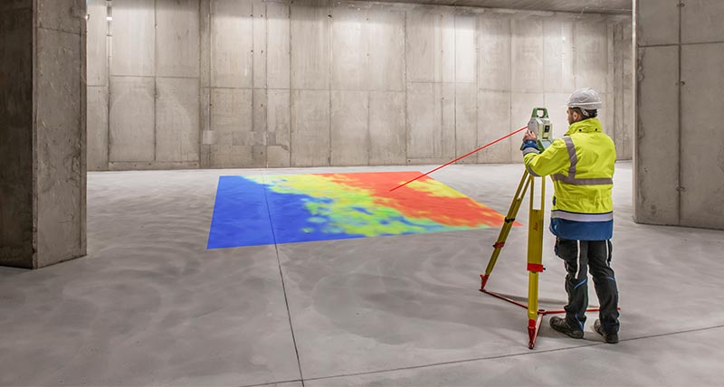
Leica Nova MS60 MultiStation - For all your measurement tasks

The new version of Leica Nova MS60, the world’s first MultiStation, enables you to perform all surveying tasks with one instrument. It brings sensor fusion to the next level by combining:
- Highest-end total station capabilities
- 3D laser scanning, enabling you to scan up to 30’000 points per second
- GNSS connectivity
- Digital imaging
The MS60 comes with Leica Captivate, an onboard software with easy-to-use apps that cover all your surveying tasks. To make your work even more productive, you can benefit from the MS60’s Dynamic Lock feature as well as the newly added, revolutionary setup assistant feature, AutoHeight - which helps you setup even faster and more accurately with the simple press of a button.
When to use the Leica Nova MS60:
- Surfaces and volumes
- Analysis of complex structures and objects
- Measuring buildings and structures
- Façade, elevations and heritage work
- Traditional topographic surveys
- Monitoring measurement and analysis of ground and structures
Highest-end total station: Highly accurate angle and distance measurements, long-lasting design and easy-to-use apps are key elements of modern total stations, fully embodied in the MS60. With improved automation functionalities using ATRplus, the MultiStation increases your efficiency, even under challenging environmental conditions.
3D laser scanning: Scan with up to 30.000 points per second (Hz): complete your scans fast and get dense scanning grids. The MS60 features optimised scanning paths, now including zenith scans, allowing you to significantly reduce the total scanning time.
GNSS connectivity: GNSS is fully integrated in the workflow and the data structure, enabling direct georeferencing. SmartStation and SmartPole setups increase your flexibility in the field.
Digital Imaging: Enhanced digital imaging technology, including an overview and a 30x magnifying telescope camera, enables accurate image assisted surveying both at the instrument and remotely - while also including extended image documentation.