Geomax PicPoint
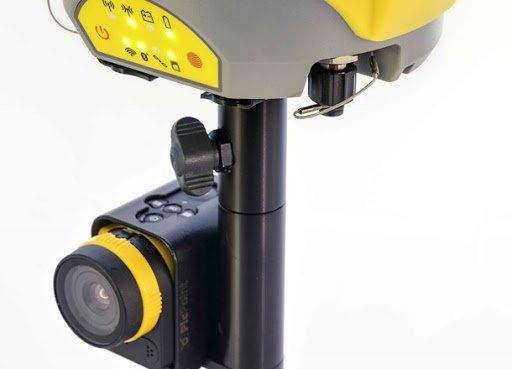
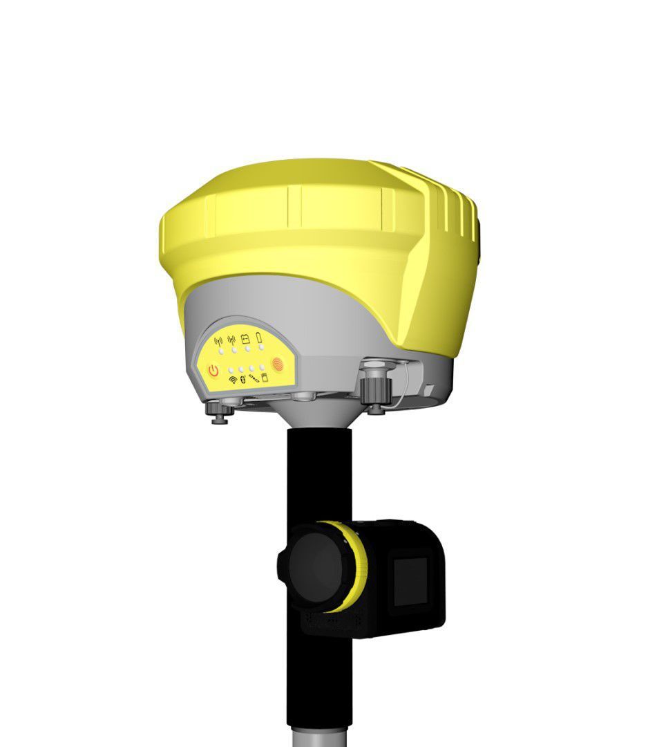
PicPoint combines GNSS measurements with images taken from the PicPoint camera attached to the pole. The innovative X-PAD Field Software running on an Android tablet uses photogrammetric principles to enable a point determination, CAD drawings and various COGO calculations, such as area and tie distance. Of course measured points are visualised in the image allowing a visual completeness check of your survey directly on site. If you should ever have missed to measure some points, this can be done easily in the office.
Flexibile operations
PicPoint is suitable for all GeoMax GNSS, including Zenith15, Zenith25 Pro and Zenith35 Pro.
Robust device
PicPoint is waterproof, dustproof and shockproof.
Ease of use
With a guided workflow, fully-integrated X-PAD software, and graphical view, PicPoint is easy to use even for beginners.
Combined imagery
Combining measurements with images taken from the PicPoint camera attached to the pole, clearly see and understand all points.