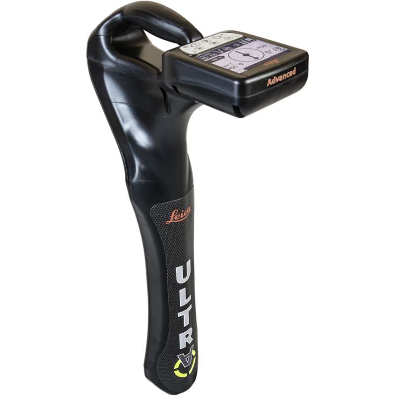
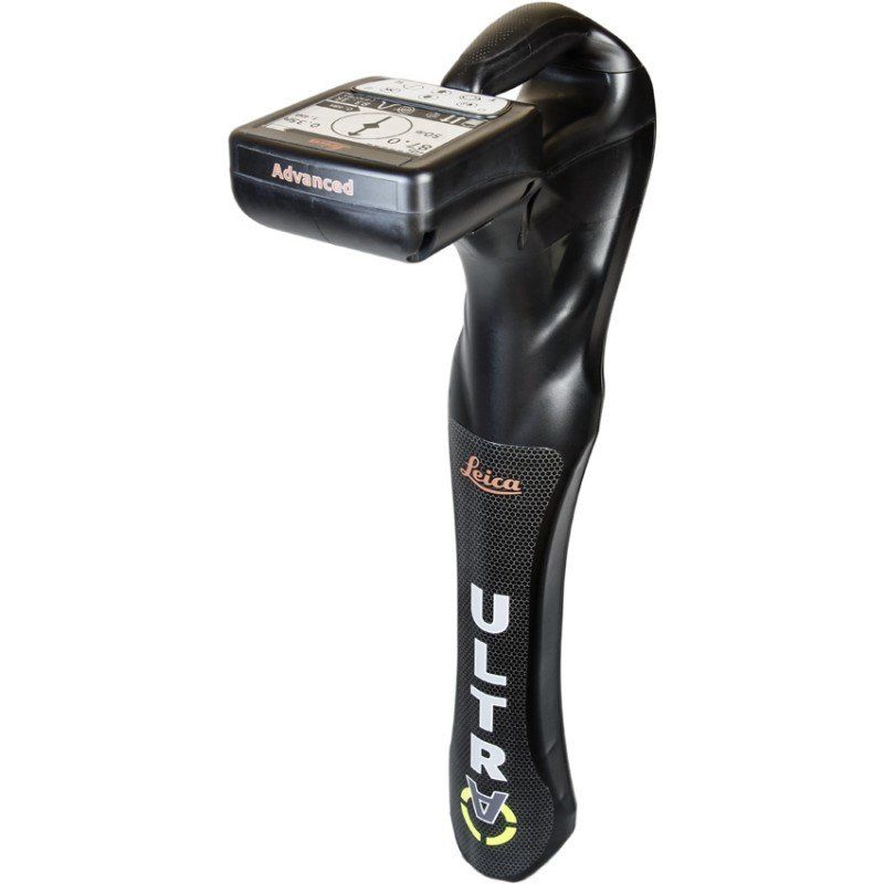
Leica ULTRA Utility Detection and Tracking System
Save time, increase efficiency, gain more confidence in your results with the Leica Ultra system, our most advanced precision locating system.
Existing underground infrastructure networks can be complicated. Complex pipe and cable routes are continually expanding on a global scale and it has never been more important to obtain precise information about their positions. Protecting existing assets or planning for future installations, demands accurate reliable information.
Integrating intelligent signal processing with unique flexible operating modes, Leica ULTRA System locates buried utility lines accurately for safe underground excavations and utility surveys. Outstanding performance with operational ease and flexibility.
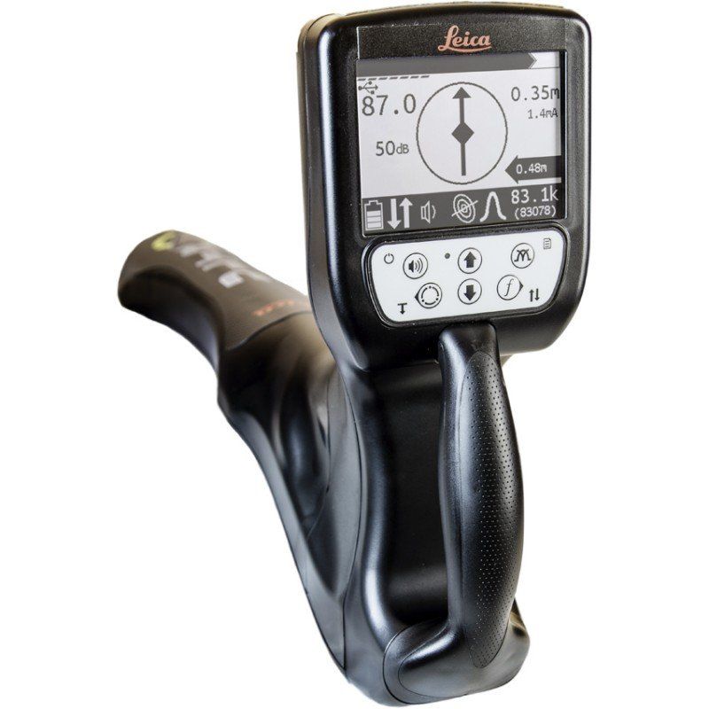
Ambient Interference Measurement (AIM): When working in congested environments, external interferences can affect the effectiveness of utility tracing. To guard against interference, the Leica ULTRA incorporates advanced Ambient Interference Measurement (AIM), which analyses the surrounding area for noise and recommends the best frequencies for accurate utility tracing.
Offset measuring: There will always be an occasion when the utility runs close to, or underneath an obstruction. With Offset Measuring, the Leica ULTRA can locate the target line if not directly accessible from above. The function uses the available data to estimate the horizontal and vertical (depth) distance.
Transmitter to receiver link: Advanced communication link between the Leica ULTRA receiver and transmitter, enables you to control the transmitter directly from the receiver. Work smarter and at greater distances to help achieve best practice whilst reducing time spent walking to the transmitter.